GIS and Spatial Data Analysis

GIS and Spatial Data Analysis
Geographic Information System (GIS) provides a powerful tool for analysing and visualising geograph­i­cal data. It helps to solve problems in various fields by providing a spatial context for data analysis and decision-making. The technology is used for capturing, storing, analysing, managing, and presenting data related to positions on the Earth's surface. GIS combines maps and databases to represent data visually, allowing users to analyse and understand the data's patterns, rela­tion­ships, and trends.

GIS Services

GIS can be used for various purposes, such as creating digital maps, analysing the distri­b­u­tion of natural resources, studying the impact of land use changes, and managing public services. As a result, it is widely used in various fields, including geography, urban planning, envi­ron­men­tal management, trans­porta­tion, and marketing.

We're here to help
australia@cdmsmith.com
Reach out to our team of experts to discuss your next digital project.
contact us

GIS has a wide range of applications across various industries and fields, including:

  • Environmental Management
  • Engineering and Construction
  • Asset Management
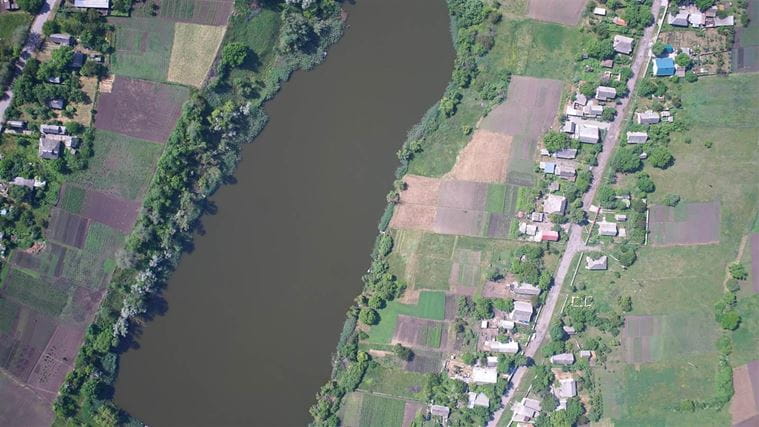
aerial riverbank view gis and spatial analysis
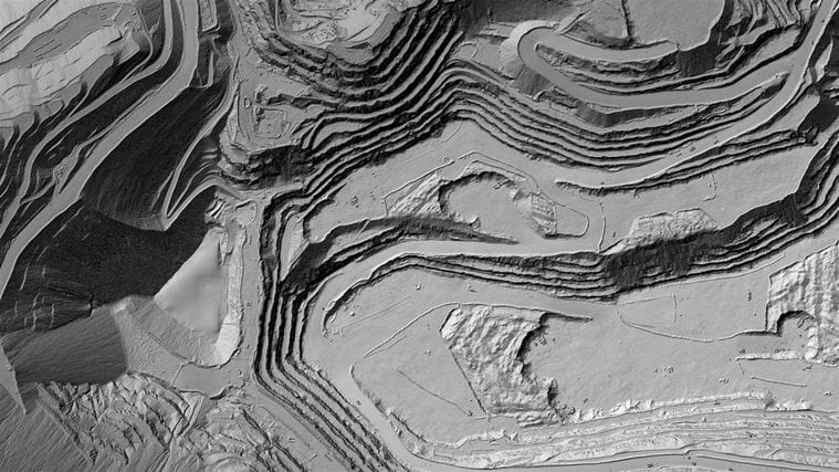
digital aerial gis mapping

  • Greenfield and Brownfield Projects
  • Urban and Regional Planning
  • Trans­porta­tion
  • Government and Public Services

We're here to help
australia@cdmsmith.com
Reach out to our team of experts to discuss your next digital project.
contact us